Last week-end, I dived back into old pictures- you know, from back in the days when we actually had albums filled with actual pictures? – and I realized I really wanted to share the tale of a fantastic hike with you, one I was lucky enough to do : the Chilkoot Trail, between Alaska and the Yukon, following the footsteps of gold diggers from the end of the 19th century.
A historical hike :
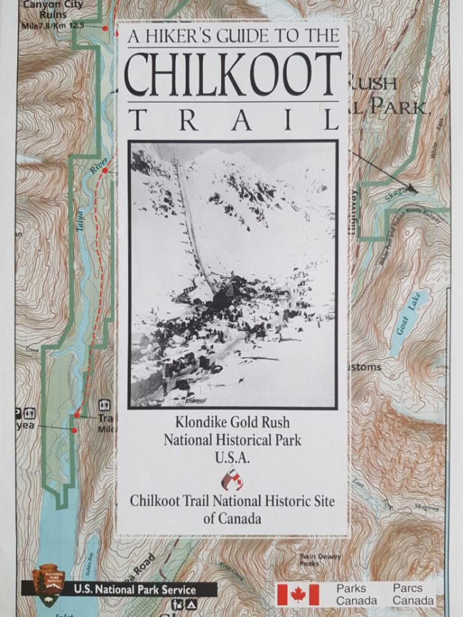
The Gold Rush in the Klondike brought around 100 000 prospectors between 1896 and 1899. It seemed to have all started when Gold was found in the region and the word reached San Francisco. Among them, some 20 000 went through the Chilkoot trail in 1899. A shorter yet hazardous way into the Promised Land. The Canadian government had imposed that each adventurer could tend to his needs for an entire year. This means about 550 pounds of material… And could easily rise to a ton! Many of them didn’t realize what they were getting themselves into. The Chilkoot Trail enables us to look into their struggles, with all the artefacts they left behind along the way. To walk on their footsteps is to feel like a pioneer.
My adventure may already be an old story –that was back in 2003- the Chilkoot Trail however, doesn’t age a day. Practical tips must be updated though.
So that was the summer of 2003, I had just turned 18 and joined one of my friends for a month in Alaska, at her foster family’s home: total immersion. As far as hiking was concerned, I was dealing with experts: between the mother who had run the Antarctic ice Marathon, being one of the very few to finish it, and the father who had climbed Mont Denali several times (formerly known as Mc Kinley, check out its mystic story by my colleague Eliane HERE ) on his own, needless to say we were in capable hands! Compared all that to a 31 miles trail in five days through medium- Height Mountains: piece of cake 😉
However, walking the chilkoot Trail requires careful planning, both on the map and in the bags. Here are some tips
Permit and reservations
- You will need a permit to walk the trail and get the permission to camp on designated areas. The Parks Canada website offers clear explication on the matter.
- As you make your reservation, be sure to specify which campgrounds you’ll spend the night in during your expedition.
- Keep in mind that’ll cross the border between Canada and the US: bring your passport!
- This is a one-way trail, so you’ll need to take a ticket for the train from Bennett to Skagway (on the American side), from Carcross, Fraser or Whitehorse (on the Canadian side) with the White Pass and Yukon Route
- Make your reservation as soon as possible! The number of people is limited to 42 per day, with the highest demands during July and August. Reservations begin in January.
Equipment:
- The weather can change drastically in a matter of hours, your equipment must thus be adapted to face rain, cold, wind, and sometimes snow, even in summer.
- Food quantities must be measured very precisely to optimize the weight of your bag
- Your hike will take you into the wild, so you need to carry with your entire camping equipment, your food, your clothes, your first-Aid kit, your maps and whatnot.
Itinerary:
- The trip usually takes between 3 and 5 days. We went for the 5 days option, one that would leave us enough time to enjoy the beauty of those amazing landscapes. The Chilkoot Pass is more difficult and does require some technique, with a 45° slope.
Ready? Let the adventure begin!
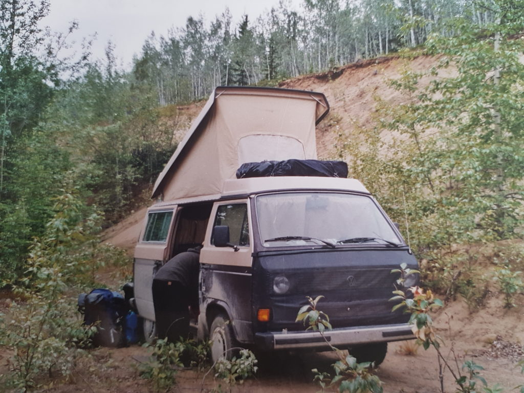
Sure brings back memories…
We left Fairbanks in a Westfalia : back in those days we were still far away from the return of the van and those #Vanlife hashtags. That was still a rare mean of transportation, and I loved every second of it. We reached Skagway, where we got our permits, and up to the beginning of this famous trail.
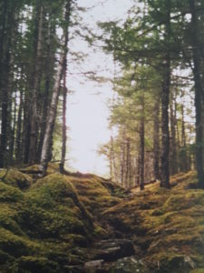
On the american side, before crossing the pass, you will find yourself on a flat area : now is the time for the infinite forests, with its perfumes, its brigh colors and suspension bridges.
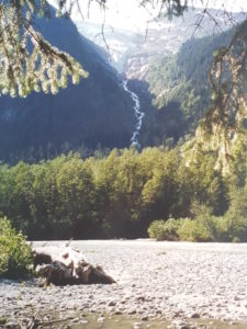
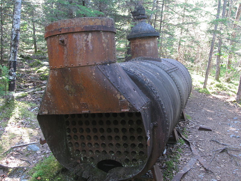
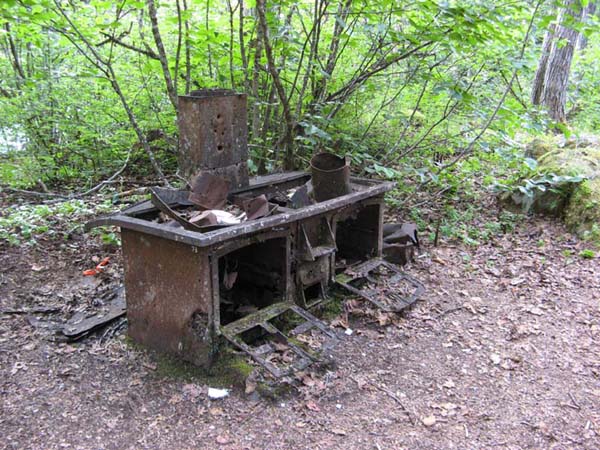
Every night, we have to hang our food up to keep the bears away…During this first part we can set camp into several campgrounds. First night at Finnegan’s Point (Km 8), and then up to Canyon City (Km 12, 5), and then for the second night we slept at Sheep Camp (Km 20, 9), the closest campground to the famous slope awaits us the next day. It is on that side of the pass that thousands of pioneers had gathered: surrounded by the forest which took over the past, you can hardly imagine all the towns that rose up from nothing in a matter of months, bursting with life. However, well-preserved artefacts tell us the tale of that era: soles, tin cans, and stakes… All brought up along the way. So keep your eyes open ! A small detour by the ghost town of Canyon City will take us back 120 years ago, with very visible remains like a cooking station, or the steam engine used to power up a tram. Naturally all you will see there is considered a historical remnant and cannot be moved away.
The third day’s the big day ! We cross the Chilkoot Pass. The trail is steep as we start early in the morning. A 45° slope on a field of stones, our bags weighting heavily on our shoulders. But just thinking about the pioneers and their ton of equipment will make you stop complaining. They had to persevere all day just to get to the other side. This slope, also called the golden stairway, embodies all the hardships one must overcome before fulfilling their dreams.
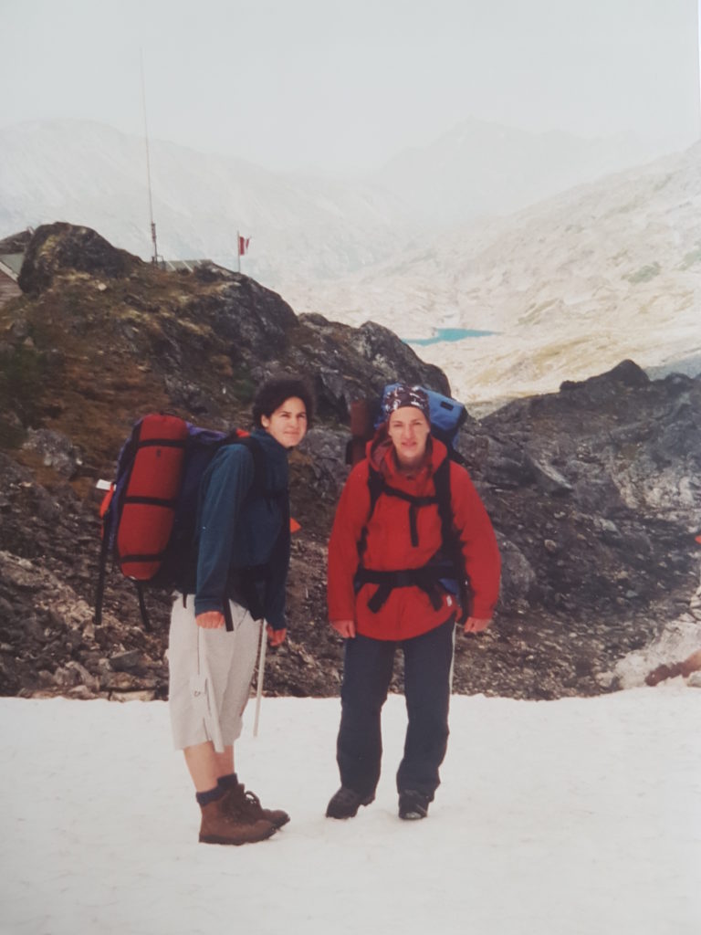
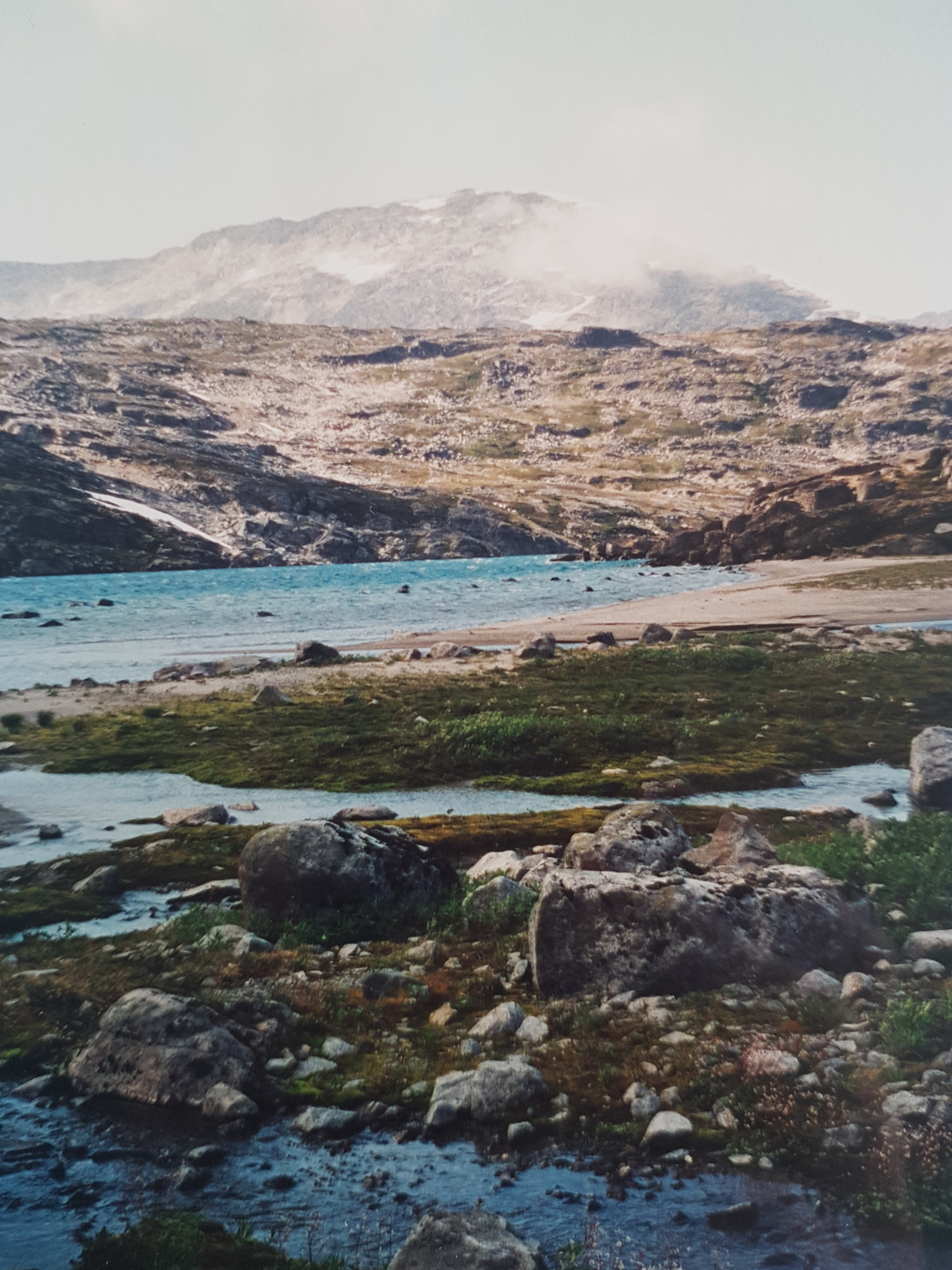
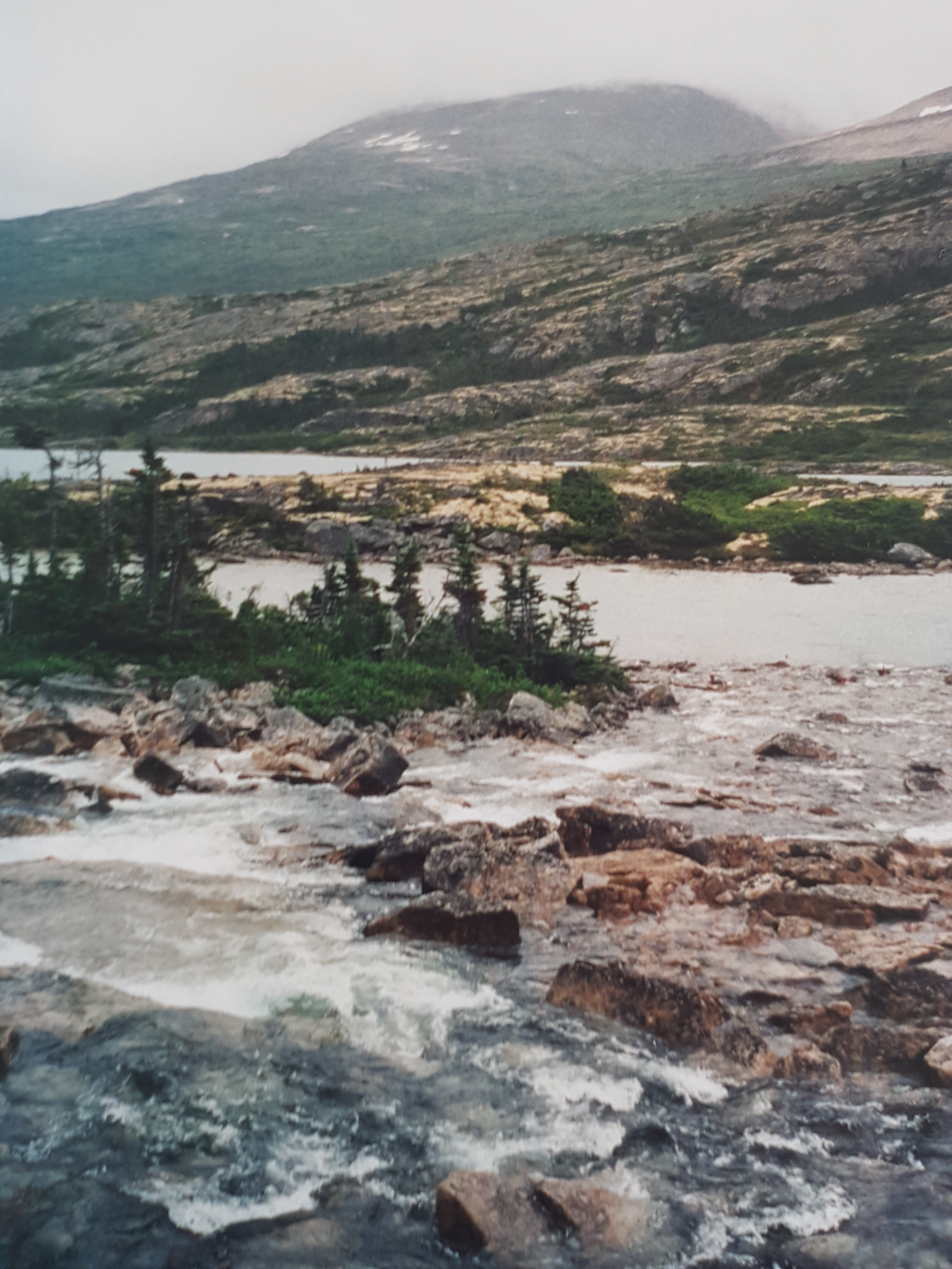
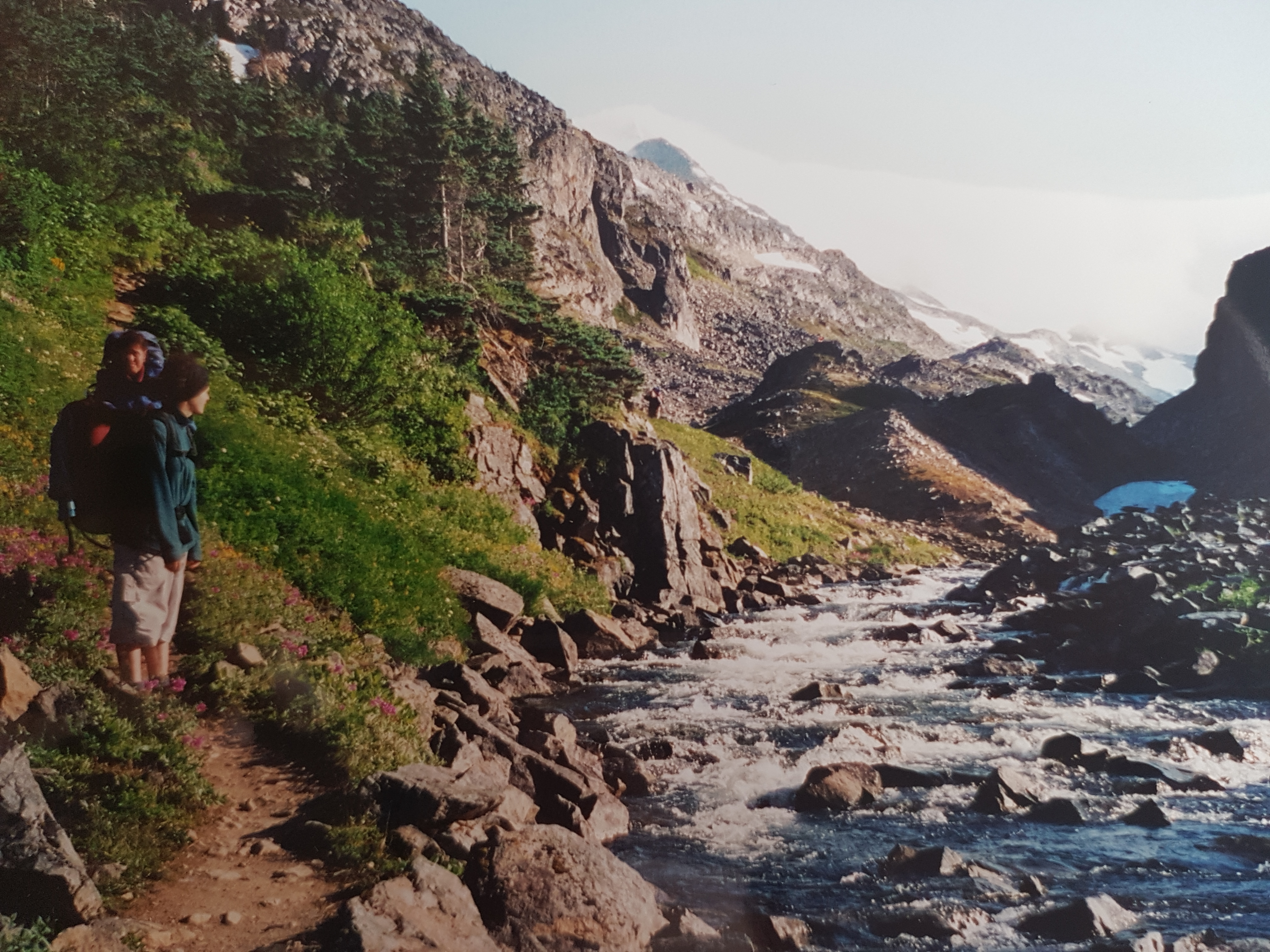
Once you’ve reached the top, you’ll find the ground is all covered in snow! This also marks the frontier between Canada and the United States. On the Canadian side the trail still goes up, making us shift from forests to mountain slopes. Passing by deep blue lakes like the Crater Lake, you can’t help but wonder at nature blooming. Then you reach Happy Camp (Km 33) which truly deserves its name after such a hard day…Kind of ironic, considering the difficult weather conditions in the area. The hike goes on the 4th day, walking by the Long Lake, stopping at Deep Lake, to finally reach Lindeman City (Km 41, 8) for our fourth camping night. A few ruins, less than on the Canadian side (since many of those prospectors didn’t reach the area…), still pave the way.
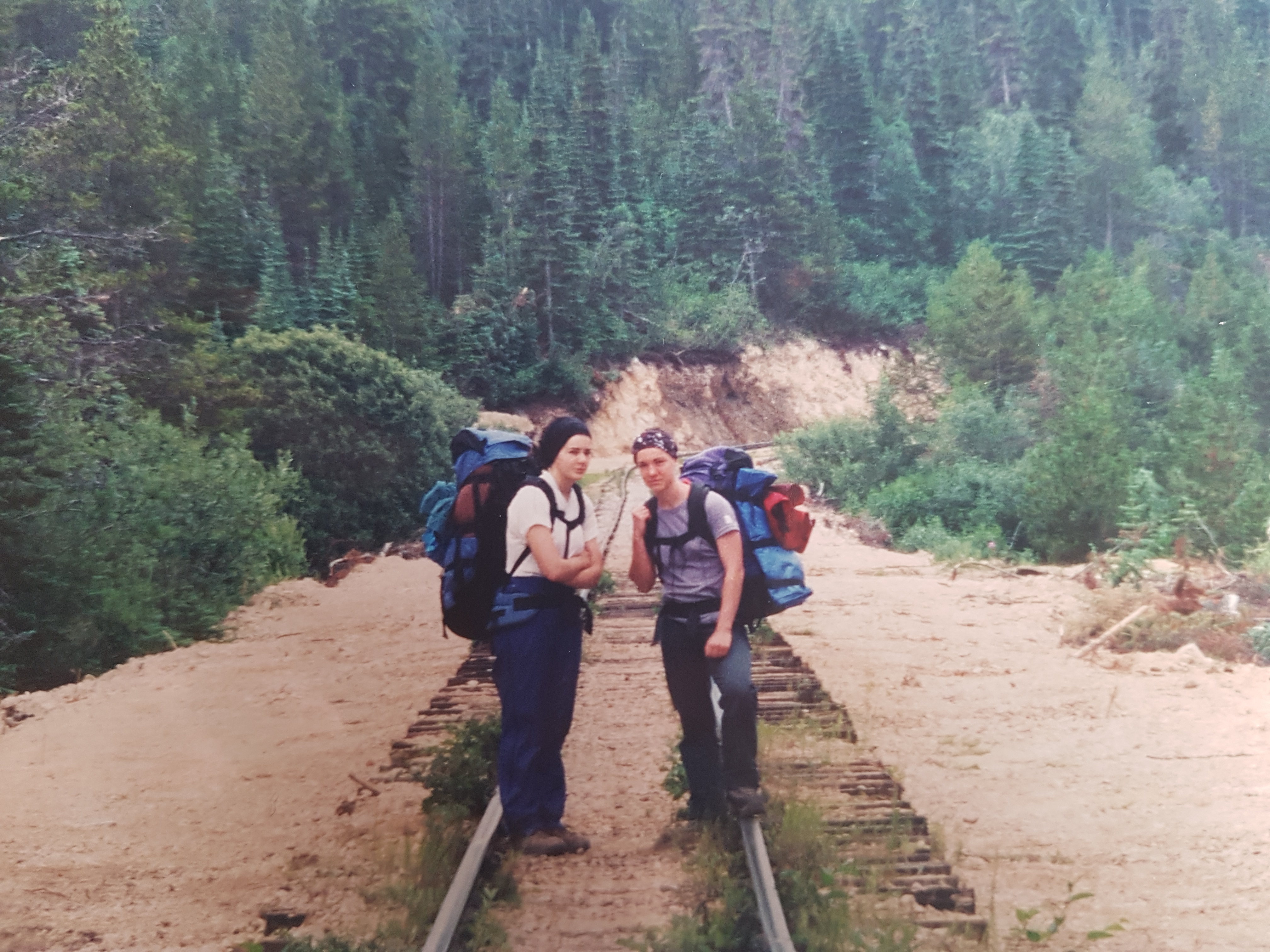
And on the 5th day, the adventure comes to an end… Some will go on until Bennett then get on a train. But we decided to follow the railroad until Log Cabin (Careful though, the Cutoff trail allowing to shorten the hike, is now closed ), where we boarded our dear Westfalia and drove back to Fairbanks through Yukon.
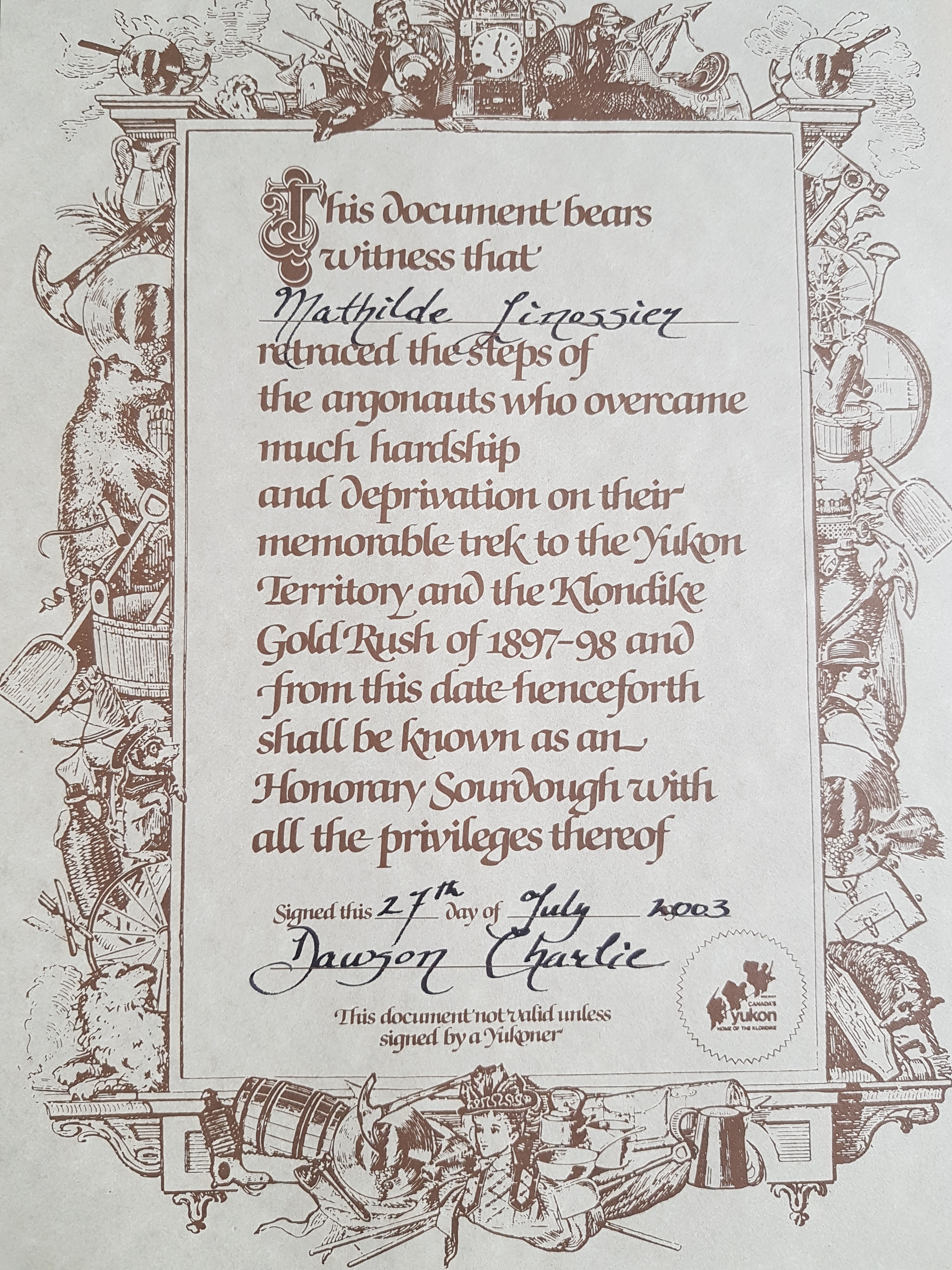
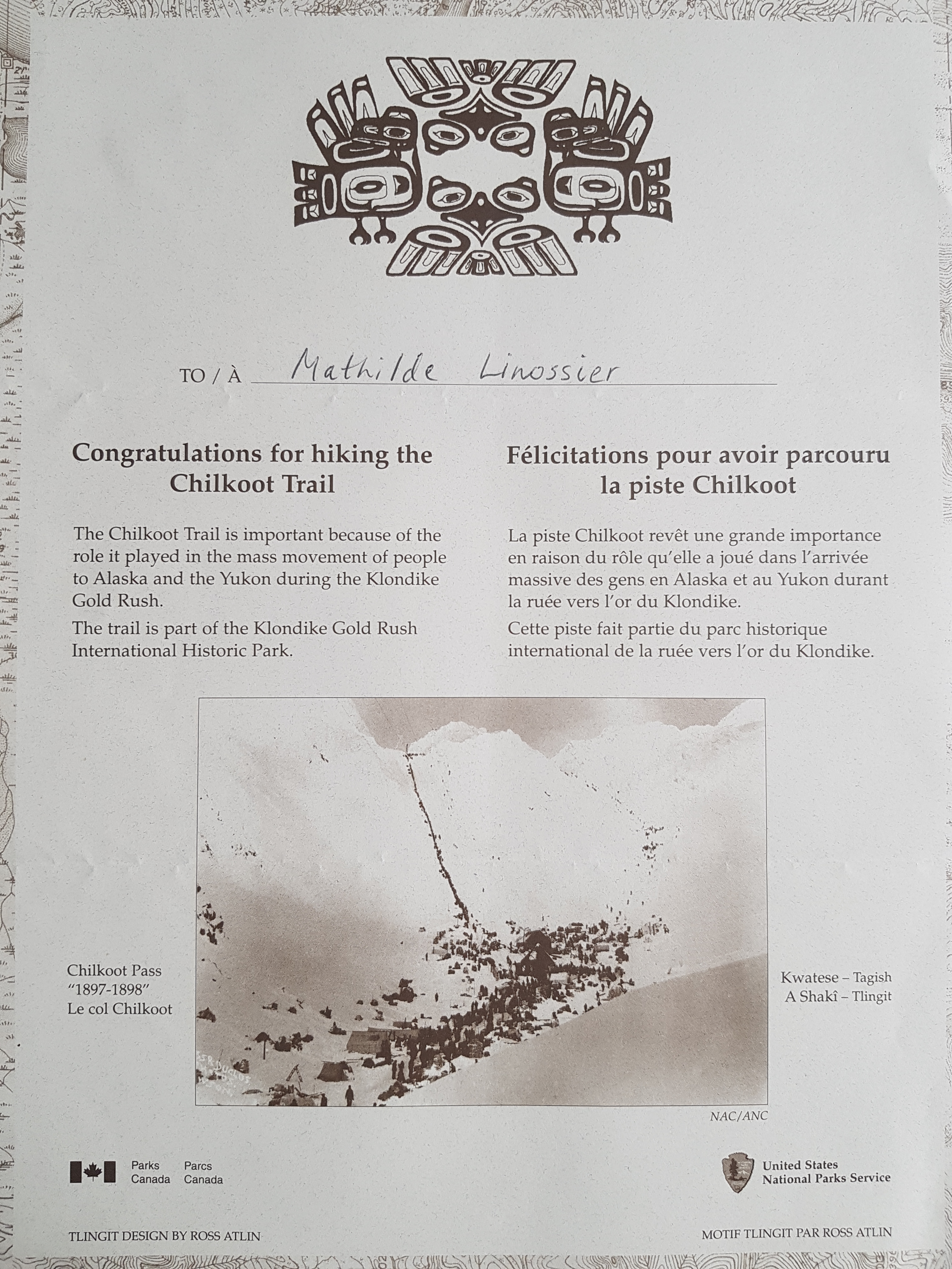
As far as my memories are concerned, they’re still in there! We also got a nice certificate proving us that we indeed were pioneers, even if it was just for a few days.

